Worldwide Ski Resort Forecasts

More
Colour guide Temperature · Wind · Rain · Snow
Each colour starts at the value shown. Wind colours match across all three units. Dry cells stay neutral. Colours describe the displayed values, not official weather warnings.
Vitsi Ski Area - Base
ECMWF · Model run: Next update expected:
Day Time (UTC) Temp. (°C) Humidity (%) Wind (km/h) Wind (knots) Wind (Bft) Direction Precip. (mm) Snow (cm) Pressure (hPa) Freezing (m) Conditions | Thursday, 05/11 06:00 2.3 93 10 5 2B NE — — 1027 2121 Overcast 91% cloud  09:00 2.4 94 8 4 2B NE 0.08 0 1028 2093 Overcast 97% cloud 12:00 2.9 93 5 3 1B E 0.05 0 1027 2181 Overcast 90% cloud 15:00 2.9 93 4 2 1B NE 0.18 0 1026 2220 Overcast 92% cloud 18:00 2.5 94 9 5 2B NE 0.06 0 1027 2242 Overcast 95% cloud 21:00 2.2 91 7 4 2B N 0.09 0 1027 2216 Cloudy 77% cloud  Friday, 06/11 00:00 1.9 88 9 5 2B N 0 0 1026 2221 Cloudy 69% cloud 03:00 1.8 88 10 5 2B N 0 0 1025 2267 Cloudy 57% cloud 06:00 1.7 87 8 4 2B N 0 0 1025 2306 Overcast 83% cloud 09:00 2.5 84 8 4 2B N 0.03 0 1024 2454 Cloudy 65% cloud 12:00 4.7 73 9 5 2B NW 0 0 1021 2644 Clear 15% cloud  15:00 5.3 69 11 6 2B NW 0 0 1020 2725 Clear 2% cloud 18:00 5.1 68 13 7 3B N 0 0 1021 2821 Clear 0% cloud 21:00 4.5 71 16 8 3B N 0 0 1022 2786 Clear 0% cloud Saturday, 07/11 00:00 4.1 53 17 9 3B N 0 0 1022 2641 Clear 15% cloud 03:00 3.7 42 17 9 3B N 0 0 1022 2610 Cloudy 55% cloud 06:00 2.9 41 12 6 2B NE 0 0 1024 2492 Overcast 90% cloud 09:00 2.4 46 5 3 1B E 0 0 1025 2412 Cloudy 52% cloud 12:00 3.2 55 4 2 1B SE 0 0 1023 2435 Cloudy 65% cloud 15:00 3.2 64 5 3 1B SE 0 0 1024 2416 Clear 4% cloud 18:00 2.3 75 6 3 2B SE 0 0 1026 2260 Clear 13% cloud 21:00 1.6 84 7 4 2B SE 0 0 1027 2104 Partly cloudy 42% cloud  Sunday, 08/11 00:00 0.9 91 9 5 2B SE 0.03 0 1029 1892 Cloudy 63% cloud 03:00 0.3 95 12 7 3B SE 0 0 1029 1732 Overcast 87% cloud 06:00 0.1 94 16 9 3B SE 0 0 1030 1658 Overcast 86% cloud 09:00 0.7 92 16 8 3B S 0.06 0 1030 1829 Overcast 85% cloud 12:00 1.9 86 9 5 2B S 0.06 0 1028 2083 Cloudy 57% cloud 15:00 2.2 82 9 5 2B S 0 0 1029 2135 Partly cloudy 33% cloud 18:00 2 81 7 4 2B S 0 0 1030 2114 Cloudy 51% cloud 21:00 2.6 76 7 4 2B S 0 0 1031 2209 Overcast 91% cloud Monday, 09/11 00:00 3.1 72 7 4 2B S 0 0 1031 2284 Overcast 99% cloud 03:00 3.3 73 8 4 2B S 0.12 0 1029 2307 Overcast 98% cloud 06:00 3.5 75 13 7 3B S 0.40 0 1030 2360 Overcast 84% cloud 09:00 3.3 79 19 10 3B S 0.06 0 1030 2358 Overcast 96% cloud 12:00 3.3 89 13 7 3B S 0.49 0 1028 2351 Overcast 100% cloud 15:00 3.6 89 11 6 2B S 1.3 0 1027 2415 Overcast 100% cloud 18:00 4.2 89 12 6 2B SW 0.12 0 1027 2498 Overcast 88% cloud 21:00 4.6 93 13 7 3B SW 0 0 1027 2567 Overcast 83% cloud Tuesday, 10/11 00:00 4.7 93 15 8 3B W 0 0 1026 2595 Overcast 84% cloud 03:00 4.6 92 16 8 3B W 0 0 1025 2626 Overcast 99% cloud 06:00 4.9 85 13 7 3B W 0 0 1025 2892 Overcast 90% cloud 09:00 5.2 83 13 7 3B W 0 0 1024 3039 Cloudy 70% cloud 12:00 6.8 72 16 9 3B W 0 0 1021 3065 Overcast 88% cloud 15:00 7.1 75 16 9 3B W 0 0 1020 3051 Overcast 92% cloud 18:00 6.5 81 16 9 3B W 0 0 1020 3033 Overcast 83% cloud 21:00 6.5 82 17 9 3B W 0 0 1021 3000 Overcast 95% cloud Wednesday, 11/11 00:00 6.9 82 20 11 3B W 0 0 1020 2956 Overcast 90% cloud 03:00 7.2 82 21 11 4B W 0 0 1018 3008 Cloudy 69% cloud 06:00 7.1 84 19 10 3B W 0 0 1019 3027 Overcast 98% cloud |
|---|
Forecast notes
Forecast table times: UTC.
Coordinates: 40.62426°N, 21.37799°E · Requested elevation: 1615 m. Model terrain: 958 m. Terrain and 1000/925/850/700 hPa profiles are used for height estimates.
These are altitude estimates, not a simulation of local mountain terrain. Precipitation, cloud and sea-level pressure use horizontal interpolation only.
Precipitation includes rain and snow water equivalent: preceding 3 hours through day 6, then 6 hours (see cell tooltip). Snow (cm) estimates fresh snowfall from precipitation and temperature using the GFS conversion; it is not snow depth on the ground. Freezing (m) uses additional 600/500 hPa temperatures when available and estimates the lowest resolved 0°C crossing above sea level. When all sampled levels are warm, the upper profile limit is shown (see tooltip). < marks an entirely cold sampled profile and its lower height limit. No extrapolation is used.
Source: ECMWF · CC BY 4.0 · Processed by Snow Report.
The road passes through the settlements Vyssinia and Oxia (characteristics of the flora of the area) and is just 1000 m from the traditional settlement of Polykerasos. Distance from the settlement of Nymfaio and the headquarters of Arcturos is only 11 km.
Check current ski conditions at Snow Report Vitsi
Places to stay — Vitsi
Swipe to see all 5 places to stay →
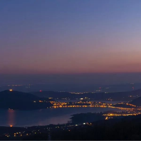 Hotel Loggas
Kastoria
Drive to ski centre: ≈ 21.2 km · 21 min
View on Booking.com ↗
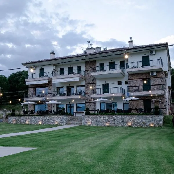 Hotel Agnanti Unique Hospitality
Kastoria
Drive to ski centre: ≈ 20.8 km · 20 min
View on Booking.com ↗
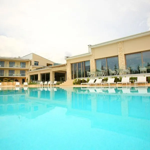 Calma Hotel & Spa
Kastoria
Drive to ski centre: ≈ 20.5 km · 18 min
View on Booking.com ↗
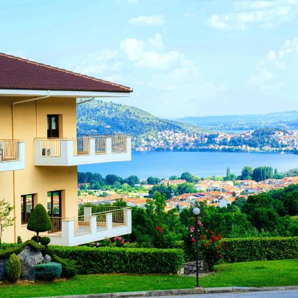 Enastron View Hotel
Kastoria
Drive to ski centre: ≈ 22.6 km · 20 min
View on Booking.com ↗
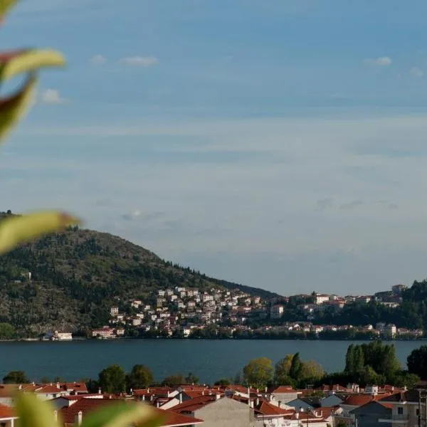 Chloe Luxury Hotel
Kastoria
Drive to ski centre: ≈ 21.9 km · 20 min
View on Booking.com ↗
Vitsi Ski Area - Top
ECMWF · Model run: Next update expected:
Day Time (UTC) Temp. (°C) Humidity (%) Wind (km/h) Wind (knots) Wind (Bft) Direction Precip. (mm) Snow (cm) Pressure (hPa) Freezing (m) Conditions | Thursday, 05/11 06:00 1.3 92 9 5 2B NE — — 1027 2119 Overcast 92% cloud 09:00 1.3 94 6 3 1B NE 0.08 0 1028 2092 Overcast 97% cloud 12:00 1.7 92 3 2 1B NE 0.05 0 1027 2178 Overcast 90% cloud 15:00 1.8 91 5 3 1B N 0.17 0 1026 2217 Overcast 93% cloud 18:00 1.6 89 11 6 2B NE 0.06 0 1027 2240 Overcast 96% cloud 21:00 1.4 84 10 5 2B N 0.08 0 1027 2215 Cloudy 76% cloud Friday, 06/11 00:00 1.2 79 11 6 2B N 0 0 1026 2219 Cloudy 67% cloud 03:00 1.2 78 12 7 3B N 0 0 1025 2265 Cloudy 55% cloud 06:00 1.1 77 12 6 2B N 0 0 1025 2303 Overcast 82% cloud 09:00 1.8 75 11 6 2B N 0.03 0 1024 2450 Cloudy 64% cloud 12:00 3.6 67 11 6 2B NW 0 0 1021 2642 Clear 16% cloud 15:00 4.2 65 13 7 3B NW 0 0 1020 2725 Clear 2% cloud 18:00 4.2 63 14 7 3B N 0 0 1021 2820 Clear 0% cloud 21:00 3.7 65 16 9 3B N 0 0 1022 2786 Clear 0% cloud Saturday, 07/11 00:00 3.2 48 17 9 3B N 0 0 1022 2641 Clear 14% cloud 03:00 2.8 38 17 9 3B N 0 0 1022 2609 Cloudy 54% cloud 06:00 2.1 38 12 7 3B NE 0 0 1024 2490 Overcast 89% cloud 09:00 1.7 42 5 3 1B NE 0 0 1025 2410 Cloudy 52% cloud 12:00 2.3 50 2 1 1B E 0 0 1023 2433 Cloudy 64% cloud 15:00 2.3 58 3 2 1B E 0 0 1024 2416 Clear 4% cloud 18:00 1.5 67 4 2 1B E 0 0 1026 2259 Clear 13% cloud 21:00 0.8 74 5 3 1B SE 0 0 1027 2103 Partly cloudy 42% cloud Sunday, 08/11 00:00 0.2 81 6 3 2B SE 0.03 0 1029 1892 Cloudy 62% cloud 03:00 -0.3 85 9 5 2B SE 0 0 1029 1732 Overcast 86% cloud 06:00 -0.6 85 12 7 3B SE 0 0 1030 1660 Overcast 85% cloud 09:00 -0 85 12 7 3B S 0.06 0 1030 1830 Overcast 85% cloud 12:00 1 81 7 4 2B S 0.07 0 1028 2083 Cloudy 59% cloud 15:00 1.3 79 7 4 2B SW 0 0 1029 2134 Partly cloudy 34% cloud 18:00 1.1 79 5 3 1B SW 0 0 1030 2114 Cloudy 52% cloud 21:00 1.6 74 6 3 1B SW 0 0 1031 2211 Overcast 90% cloud Monday, 09/11 00:00 2.1 73 6 3 2B SW 0 0 1031 2284 Overcast 99% cloud 03:00 2.2 76 8 4 2B SW 0.12 0 1029 2307 Overcast 98% cloud 06:00 2.5 76 10 6 2B S 0.40 0 1030 2360 Overcast 83% cloud 09:00 2.3 81 18 10 3B S 0.06 0 1030 2359 Overcast 95% cloud 12:00 2.3 91 15 8 3B SW 0.50 0 1028 2352 Overcast 100% cloud 15:00 2.6 90 13 7 3B SW 1.3 0 1027 2416 Overcast 100% cloud 18:00 3.2 87 14 8 3B SW 0.12 0 1027 2497 Overcast 87% cloud 21:00 3.6 89 15 8 3B W 0 0 1027 2566 Overcast 82% cloud Tuesday, 10/11 00:00 3.7 88 17 9 3B W 0 0 1026 2594 Overcast 83% cloud 03:00 3.6 87 18 10 3B W 0 0 1025 2624 Overcast 99% cloud 06:00 4.1 80 15 8 3B W 0 0 1025 2885 Overcast 89% cloud 09:00 4.4 77 15 8 3B W 0 0 1024 3034 Cloudy 69% cloud 12:00 5.8 68 18 10 3B W 0 0 1021 3061 Overcast 88% cloud 15:00 6 71 19 11 3B W 0 0 1020 3051 Overcast 92% cloud 18:00 5.5 77 18 10 3B W 0 0 1020 3032 Overcast 83% cloud 21:00 5.4 79 19 10 3B W 0 0 1021 3000 Overcast 95% cloud Wednesday, 11/11 00:00 5.7 82 21 12 4B W 0 0 1020 2956 Overcast 90% cloud 03:00 6.1 81 23 12 4B W 0 0 1018 3009 Cloudy 69% cloud 06:00 6 84 21 12 4B W 0 0 1019 3027 Overcast 98% cloud |
|---|
Forecast notes
Forecast table times: UTC.
Coordinates: 40.62317°N, 21.38638°E · Requested elevation: 1840 m. Model terrain: 954 m. Terrain and 1000/925/850/700 hPa profiles are used for height estimates.
These are altitude estimates, not a simulation of local mountain terrain. Precipitation, cloud and sea-level pressure use horizontal interpolation only.
Precipitation includes rain and snow water equivalent: preceding 3 hours through day 6, then 6 hours (see cell tooltip). Snow (cm) estimates fresh snowfall from precipitation and temperature using the GFS conversion; it is not snow depth on the ground. Freezing (m) uses additional 600/500 hPa temperatures when available and estimates the lowest resolved 0°C crossing above sea level. When all sampled levels are warm, the upper profile limit is shown (see tooltip). < marks an entirely cold sampled profile and its lower height limit. No extrapolation is used.