Camera 1
Press play to connect.

Each colour starts at the value shown. Wind colours match across all three units. Dry cells stay neutral. Colours describe the displayed values, not official weather warnings.
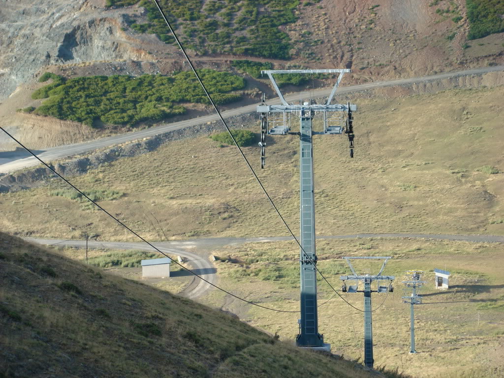
Anilio’s forecast is split between the base at 1,650 m and an upper point at 1,810 m. These are the two reference elevations used on this page, not a forecast for every slope or for the road from Metsovo. Select the point closest to your planned activity.
With only 160 metres between the two forecast points, small temperature differences still matter when precipitation falls near freezing. Compare temperature, precipitation timing and expected fresh snow at both elevations. Open the date for detailed intervals: a wet morning and a dry afternoon can be hidden by a single daily total. Model disagreement is a reason to revisit the forecast closer to departure.
Use the Anilio SnowReport bulletin and webcams to check published operating information and visible snow conditions, checking their timestamps. A road cannot be assumed clear because the forecast is dry, and predicted snowfall does not confirm that pistes or lifts are open. Check the latest access information before leaving; this forecast does not measure road ice or existing snow depth.
Forecast points and guidance reviewed 4 November 2026. Current bulletin and webcams: SnowReport.gr.
Press play to connect.
Press play to connect.