全球滑雪场天气预报


颜色说明 温度 · 风 · 降雨 · 降雪
每种颜色从所示数值开始。三种风速单位的颜色相互对应。无降水单元格保持中性色。颜色仅描述显示值,并非官方天气预警。
Courmayeur - base · 1205 m
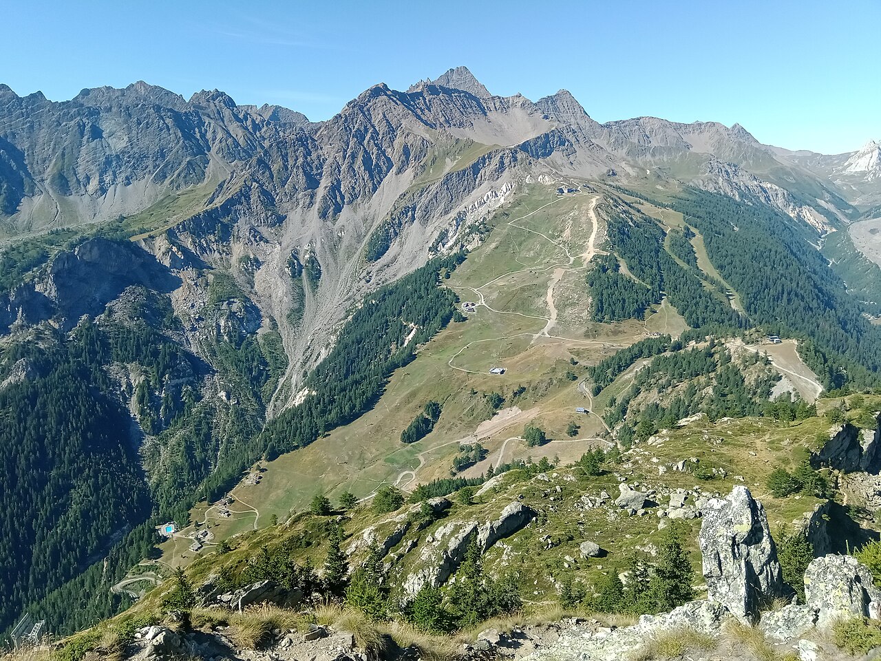
Courmayeur’s ski area has two principal sides, Chécrouit and Val Vény, facing the Mont Blanc landscape. Its appeal is not limited to difficult skiing: the resort provides ski schools and equipment hire alongside mountain restaurants. Use the piste map to choose terrain for your ability rather than treating the resort’s reputation as a description of every run.
Take care with headline distances. The official destination website combines groomed slopes and off-piste terrain in one advertised total; that is not the same measure as kilometres of prepared pistes alone. The map and current piste report are more informative when deciding what you can actually ski.
Our default point is at 1,205 m. It describes a lower location, while much of a ski day takes place above it. Check the chosen elevation before comparing a webcam with the forecast, and separate fresh snowfall from existing snow cover. For a mixed group planning both skiing and sightseeing, consult the particular facility’s operating information: a cable-car journey and a marked ski route are different activities with different access requirements.
Official sources: Courmayeur ski area · Courmayeur lifts and slopes. Reviewed 18 October 2026.