Faloria · Cortina · Panorama

Provider panorama/video player. Capture time is shown by the camera.
Open camera page ↗

每种颜色从所示数值开始。三种风速单位的颜色相互对应。无降水单元格保持中性色。颜色仅描述显示值,并非官方天气预警。
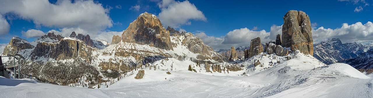
Cortina d’Ampezzo offers several ski sectors around the Ampezzo valley, rather than one compact mountain reached from a single lift. Faloria–Cristallo, Tofana and the 5 Torri–Lagazuoi area each provide a different starting point. The Cortina Skyline gondola links Son dei Prade with Bai de Dones, so a current piste map is useful even for returning visitors.
The forecast selector on this page distinguishes three named locations: the Faloria cable-car valley station at 1,225 m, the Faloria upper station at 2,123 m, and Ra Valles in the Tofana sector at 2,470 m. These are real reference points in different parts of Cortina, not three heights above a single coordinate. Choose the point closest to your intended skiing before comparing temperatures or snowfall.
If a camera shows snow while the lower forecast shows rain, check its position and elevation first. For a day involving several sectors, compare the timing of conditions at the destination and on the way back. The operator’s live lift information remains the source for actual access; neither a common ski pass nor a favourable forecast confirms that every connection is open.
Official sources: Cortina — skiing and snowboarding · Faloria · Tofana official map. Reviewed 18 October 2026.
Provider panorama/video player. Capture time is shown by the camera.
Open camera page ↗