世界のスキー場の天気予報


色の凡例 気温 · 風 · 雨 · 雪
各色は表示された値から始まります。風の色は3種類の単位で対応しています。降水のないセルは中立色です。色は表示値を示すもので、公的な気象警報ではありません。
Davos - base · 1538 m
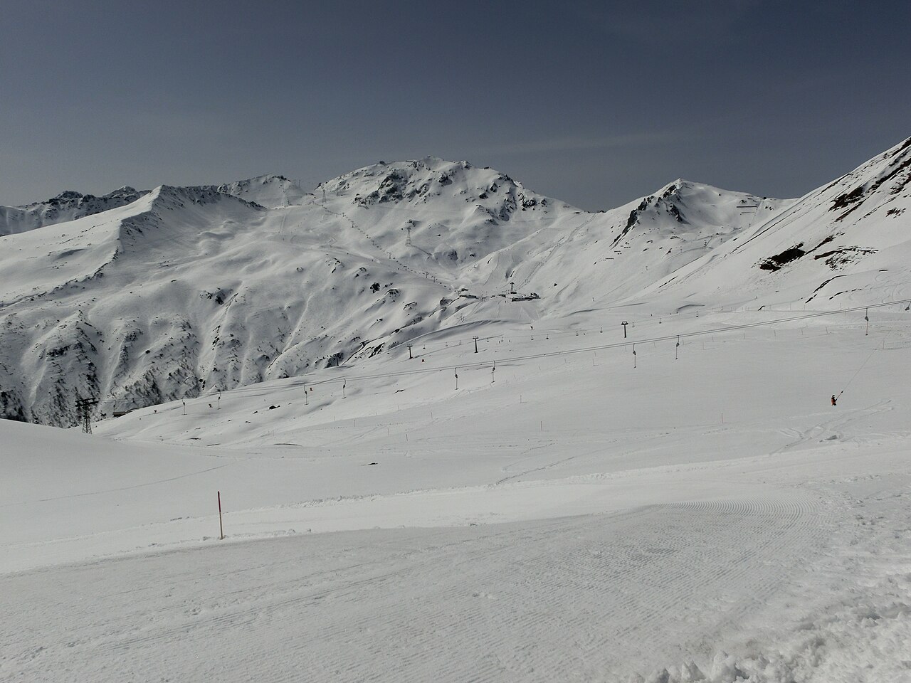
Davos is a base for several mountain areas in the wider Davos Klosters destination, not one continuous set of pistes surrounding a single lift. The official maps distinguish Parsenn/Gotschna, Jakobshorn, Rinerhorn, Madrisa, Pischa and Schatzalp/Strela. Decide which mountain you intend to visit before using a town forecast to plan the whole day.
The areas have different identities: Parsenn is associated with broad alpine pistes, Jakobshorn with freestyle, while Madrisa and Rinerhorn include family-oriented skiing. Pischa's emphasis is on freeriding and touring. These are reasons to study the relevant piste map, rather than assume that all six areas offer the same terrain or are suitable for the same group.
The default forecast point on this page is at 1,538 m in the Davos setting. It is a useful lower reference, but it cannot stand for the temperature or wind on every mountain above the town. Pick the actual sector on the map and select its elevation, then compare the forecast for your skiing hours with the lower-level conditions for the return.
Keep the mountain names in mind when reading opening notices: an operating lift in one sector does not establish access to another. Compare model forecasts over the same time period and use current resort reports for transport, pistes and lift status. A fresh-snow total is not a statement about the safety of ungroomed terrain.
Official sources: Davos Klosters — piste maps · Davos Klosters — destination guide. Reviewed 18 October 2026.